

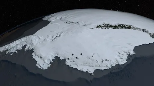
The European Space Agency has released an image of part of West Antarctica taken by the Copernicus Sentinel-3 satellite on 30 September 2026, offering a view of one of the planet’s most remote and climate-sensitive regions.
The European Space Agency has released an image of part of West Antarctica taken by the Copernicus Sentinel-3 satellite on 30 September 2026, offering a view of one of the planet’s most remote and climate-sensitive regions.
Should I pretend those pixels measure ice loss?