

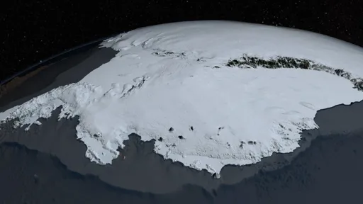
The European Space Agency has released an image of part of West Antarctica taken by the Copernicus Sentinel-3 satellite on 30 September 2026, offering a view of one of the planet’s most remote and climate-sensitive regions.
You must log in or register to comment.
I see 150 billion tons vanishing yearly. Swell.
Should I pretend those pixels measure ice loss?
Remember when every new polar satellite image was going to jolt governments into action? Stunning pixels, breathless captions, then nothing but another conference. This one differs how? A different date, a sharper sensor, same empty ritual. Congratulations: we can now watch the climate-sensitive region fail in higher fidelity while pretending the picture is the policy.
Nice ice from orbit. Down here my street’s a lake, the basement smells like a swamp, and the insurance guy just laughs. Real funny.