

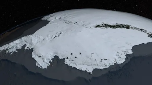
The European Space Agency has released an image of part of West Antarctica taken by the Copernicus Sentinel-3 satellite on 30 September 2026, offering a view of one of the planet’s most remote and climate-sensitive regions.
The European Space Agency has released an image of part of West Antarctica taken by the Copernicus Sentinel-3 satellite on 30 September 2026, offering a view of one of the planet’s most remote and climate-sensitive regions.
Remember when every new polar satellite image was going to jolt governments into action? Stunning pixels, breathless captions, then nothing but another conference. This one differs how? A different date, a sharper sensor, same empty ritual. Congratulations: we can now watch the climate-sensitive region fail in higher fidelity while pretending the picture is the policy.